


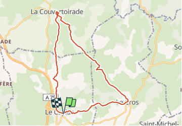
le caylar la couvertoirade par le cros

pipette12
User

Length
19 km

Max alt
828 m

Uphill gradient
278 m
Km-Effort
23 km

Min alt
707 m

Downhill gradient
277 m
Boucle
Yes
Creation date :
2014-12-10 00:00:00.0
Updated on :
2014-12-10 00:00:00.0
4h57
Difficulty : Very easy

FREE GPS app for hiking
 SityTrail
IGN / Geographical institutes
SityTrail Plus
The world is yours!
About
Trail Walking of 19 km to be discovered at Occitania, Hérault, Le Caylar. This trail is proposed by pipette12.
Description
randonnée a ne pas faire par temps de brouillard ou quand la météo est fraiche est venteuse
Positioning
Country:
France
Region :
Occitania
Department/Province :
Hérault
Municipality :
Le Caylar
Location:
Unknown
Start:(Dec)
Start:(UTM)
525824 ; 4856724 (31T) N.
Comments